Topography of Sant’Antioco
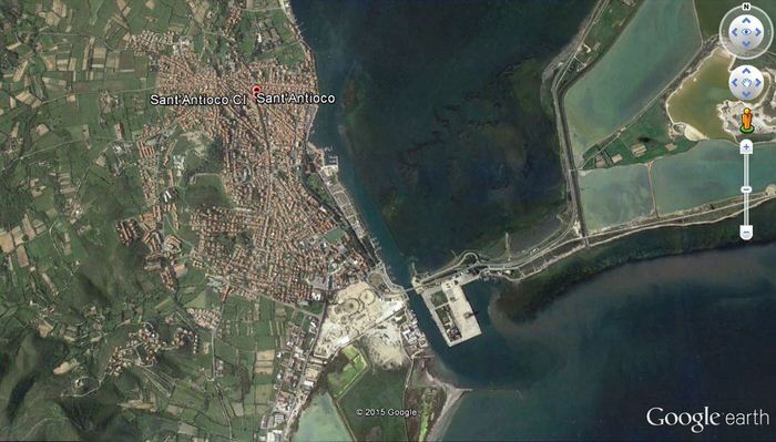
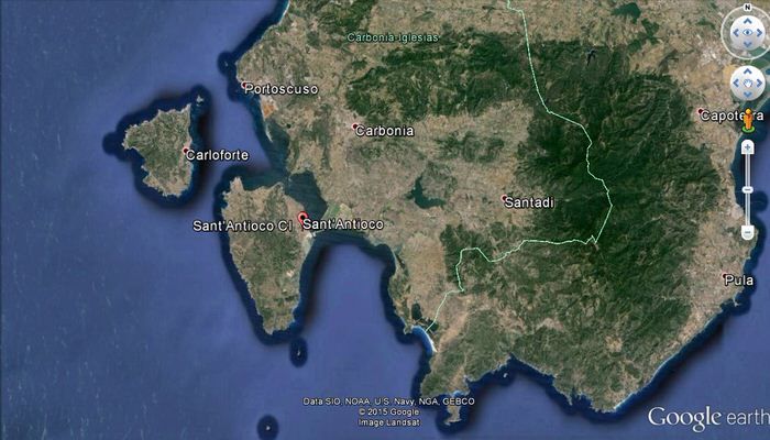
The island of Sant'Antioco is located to the southwest of Sardinia and is part of the archipelago of Sulcis. The island has an area of about 88 square kilometres with a length of about 19 kilometres. The territory consists of volcanic rocks, mainly basalts and trachyte, and limestone and is connected to the main Island by an isthmus, partly natural and partly due to the work of man (fig. 1). There are few rivers with not much water.
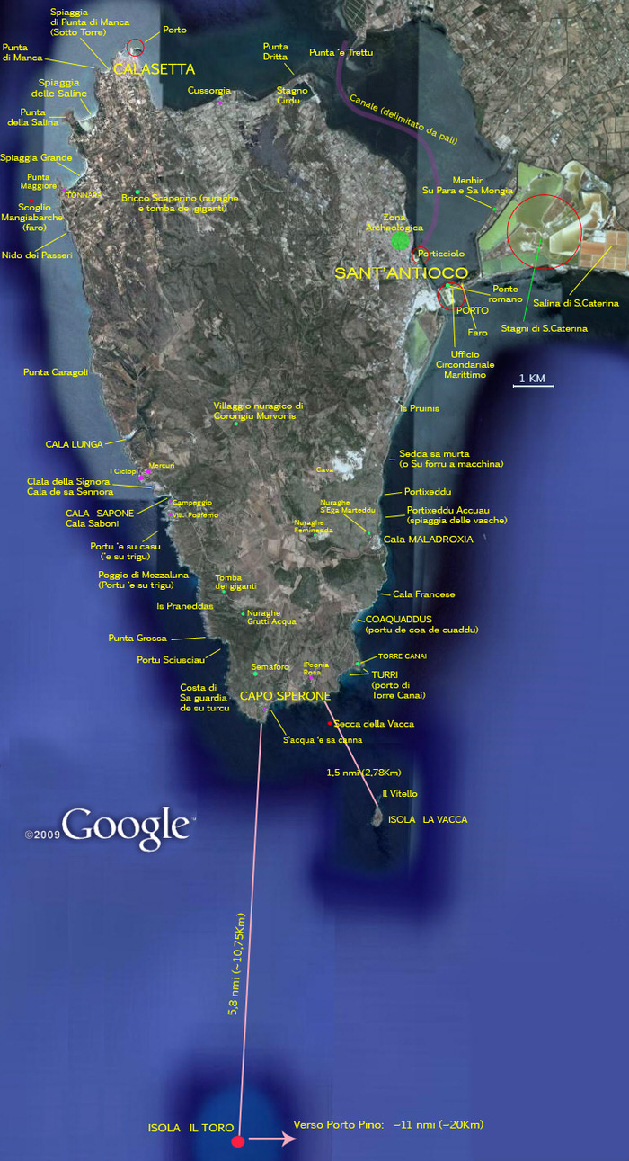
The island is a strategic port of primary importance for the entire region of Sulcis-Iglesias, rich in minerals which were extracted to then be traded or processed in loco (fig. 2). This is where the city of Sulky was founded, a name which, according to recent studies, could date back to before the arrival of the Phoenicians and therefore probably of Nuraghic origin. In the area of the ancient city, in fact, there was a polylobate Nuraghe which controlled the surrounding territory.
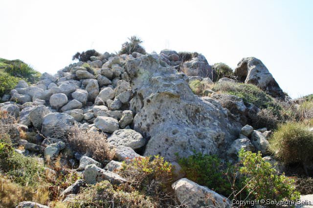
In addition to the port of Sulky there is also the port of Maladroxia, controlled by another Nuraghe, along the east coast of the island, whose name derives from the Phoenician Malat Rosh, literally the "Cape Refuge", a critical landing site in order to have secure access to the only farmable valley in the southern part of the island, the Cannai valley and to the creek named very significantly Portu ‘e su Trigu "Port of grain" (fig. 3) dominated by another Nuraghe, the Grutti Acqua (fig. 4).
Tuna fishing, perhaps introduced by the Phoenicians, has been carried out on the island since ancient times.
Bibliografia
- P. BARTOLONI, Il museo archeologico comunale “F. Barreca” di Sant’Antioco, Sassari 2007
- G. LILLIU, Sardegna Nuragica, Nuoro 2006.
- C. TRONCHETTI, S. Antioco, Sassari 1989.
 VR
VR